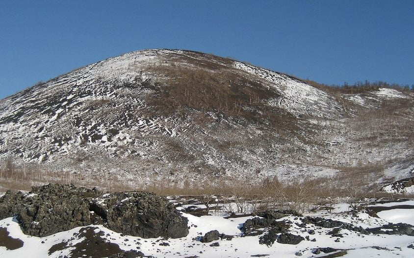
Winter’s on the way and it’s the perfect time for our Landscape Architects to be getting out on site to undertake Landscape and Visual Impact Assessments (LVIA). With trees losing their leaves, visibility is at its peak which allows us to best assess the visual impacts of proposed development and help to inform appropriate mitigation measures, which may be critical in the planning balance.
What is LVIA?
LVIA is used to identify the potential landscape and visual effects of change and development. It comprises two interrelated parts:-
- A landscape impact assessment, which considers the potential changes to distinguishing landscape features and character. The term landscape is taken to encompass the whole external environment including the countryside and urban areas.
- A visual impact assessment, which considers the potential changes to views for local residents, walkers, horse riders, visitors and the setting of heritage features. Collectively these are described as ‘receptors’.
The process of LVIA is carried out either formally as part of an EIA, or to support a stand-alone report to the local planning authority to inform a non EIA application.
LVIA’s are used to inform accurate decision making and it is therefore important that assessments are proportionate to the development proposed. Huge tomes of information produced for small scale developments in areas which are not sensitive, is both unnecessary and costly, and is likely to alienate readers, local residents and local authorities alike. Together with accuracy, the most important attributes of LVIAs are clarity, transparency and accessibility.
Good Practice
Good practice in LVIA is driven by adherence to professional guidance, the Guidelines for Landscape and Visual Impact Assessment 3rd Edition (GLVIA3). A number of planning authorities reference GLVIA3 as part of the information required by the local validation checklist, to guide applicants on the landscape and visual information that must be submitted to support planning applications.
We also adhere to the Landscape Institute’s Technical Guidance Note Visual Representation of Development Proposals (2019). This document provides advice on the selection, production and presentation of types of visualisation appropriate to the circumstances in which they will be used, ranging from photographs to show the baseline conditions, through to wireframes and technical visualisations (photomontages) to show the proposed situation.
Our Experience
At The Landmark Practice, we have an experienced team of Landscape Architects who have worked on LVIA’s for wide range of developments, including urban extensions, student accommodation, quarry conversions, solar farms and wind turbines. Where required, our team can also prepare Townscape and Visual Impact Assessments (TVIA), for proposals in the urban environment, or Landscape and Visual Appraisals (LVA), a higher level assessment identifying potential impacts of proposals. Our in-house Graphics team can also provide stand-alone services including ZTV’s (Internal Link), wireframe models and photomontages. We also have experience of preparing assessments and rendered AVR’s for public enquiries.
If you would like more information about LVIA, TVIA, LVA or graphics please contact the office on 0117 9230455 or enquires@thelandmarkpractice.com.